オリジナル記事:A Trio of Plumes in the South Sandwich Islands
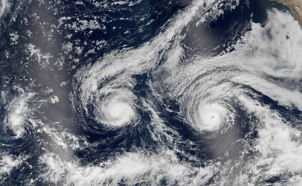
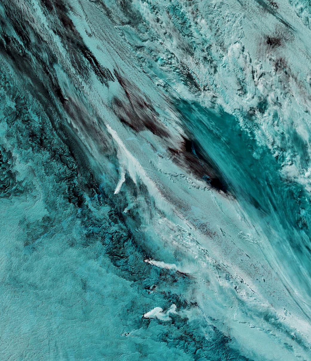
On September 29, 2016, the Moderate Resolution Imaging Spectroradiometer (MODIS) on NASA’s Aqua satellite captured this false-color image (MODIS bands 7-2-1) showing volcanic activity in the South Sandwich Islands. Located in the South Atlantic Ocean, the uninhabited South Sandwich Islands include several active stratovolcanoes.
Image Credit: NASA Earth Observatory image by Joshua Stevens, using MODIS data from the Land Atmosphere Near real-time Capability for EOS (LANCE)
Caption: Joshua Stevens
Last Updated: Oct. 3, 2016
Editor: Sarah Loff
南サンドイッチ諸島の3つの噴煙
2016年9月29日に、NASAのアクア衛星搭載の可視・赤外域の放射計(MODIS)が南サンドイッチ諸島の火山活動を示すカラー処理画像(MODISバンド7-2-1)を撮影しました。無人の南サンドイッチ諸島は、南大西洋に位置し、いくつかの活動中の成層火山があります。
訳者注
気象観測衛星からのデータは、赤外線の波長を使って画像処理すると雲か噴煙かの区別をつけることができるため非常に有効であると伝えています。
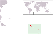
サンドイッチ諸島 - Wiki
サウスジョージア・サウスサンドウィッチ諸島(サウスジョージア・サウスサンドウィッチしょとう、South Georgia and the South Sandwich Islands; SGSSI)は、南大西洋にあるイギリス領の諸島。
フォークランド諸島の約1,000km東(南緯54度30分、西経37度)にある。19-20世紀前半、鯨油採取の基地であった。