NASAの今日の1枚は、至点に至った地球の画像です...が、画像自体は2010年12月21日に観測衛星から撮影されたものです。
「Solstice」は日本語では「 至点 」、冬至は「Winter Solstice」、夏至は「Summer Solstice」です。
NASAの公式サイトのURLはこちら:
Behold a Winter Solstice | NASA
記事前文と和訳は以下です。
Behold a Winter Solstice
The Earth’s solstices come twice a year. For the Northern Hemisphere, the summer (June) solstice occurs around June 20-21, and the winter (December) solstice happens around Dec. 21-22.
地球の至点は年に2回あります。 北半球では、夏至(6月)は6月20日〜21日頃、冬至(12月)は12月21日〜22日頃になります。
At the solstice, the Sun’s path appears farthest north or south, depending on which half of the planet you are on. Seasons change on Earth because the planet is slightly tilted on its axis as it travels around the Sun.
至点では、地球のどちらの半球にいるかに応じて、太陽の進路が最も北または南になります。 地球が太陽の周りを移動するときに地軸に対してわずかに傾いているため、地球の季節が変わることになるのです。
Earth’s axis may be imagined as an imaginary pole going right through the center of our planet from “top” to “bottom.” Earth spins around this pole, making one complete turn each day. That is why we have day and night.
地球の軸は、地球の中心を「上」から「下」に向かって真っ直ぐに通る架空の極として想像することができます。 地球はこの極の周りを回転し、毎日1回転します。 それが私たちが昼と夜を持っている理由です。
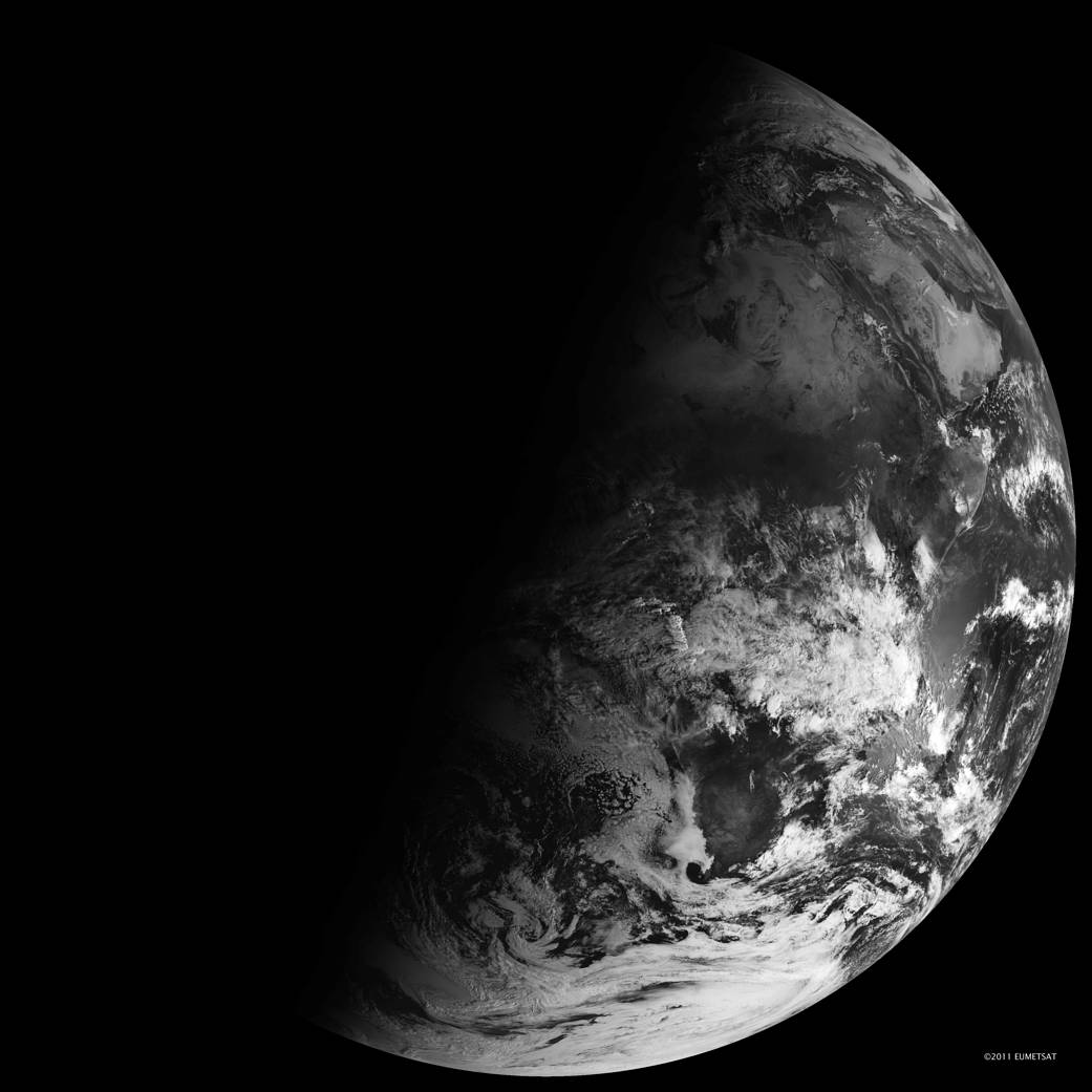
This image was taken with the Spinning Enhanced Visible and Infrared Imager (SEVIRI) on EUMETSAT’s Meteosat-9 captured this view of Earth from geosynchronous orbit, and shows how sunlight fell on the Earth on Dec. 21, 2010.
この画像は、EUMETSATのMeteosat-9搭載のSpinning Enhanced Visible and Infrared Imager(SEVIRI)で静止軌道から地球を撮影したものです。2010年12月21日に地球にどのように太陽光が当たっていたかを示しています。
Image Credit: NASA
Last Updated: Dec 22, 2021
Editor: Yvette Smith