オリジナル記事:Sahara Desert From the Space Station’s EarthKAM
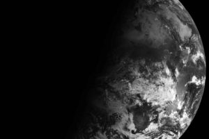
Middle school students programmed a camera aboard the International Space Station — the Sally Ride EarthKAM — to photograph this portion of the Sahara desert in western Libya on October 3, 2016. In early November 2016, the Expedition 50 crew set up the EarthKAM gear once again in the Harmony module’s Earth-facing hatch window, to allow students to photograph targets on Earth and downlink the imagery.
Image Credit: Sally Ride EarthKAM
Last Updated: Dec. 6, 2016
Editor: Marc Levy
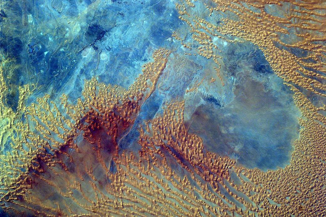
宇宙ステーションのEarthKAMからのサハラ砂漠
中学生が、2016年10月3日にリビア西部のサハラ砂漠のこの部分を撮影するために、国際宇宙ステーション(Sally Ride EarthKAM)のカメラをプログラムしました。2016年11月初めに、第50次長期滞在クルーが宇宙ステーションの地球に面したハッチウィンドウであるハーモニーモジュールでEarthKAMをもう一度設定し、中学生たちは地球上のターゲットを撮影し、画像を転送することができました。
訳者注:
国際宇宙ステーションにはEarthKAMという地上から遠隔操作して、地球の各地を撮影することができる仕組みが搭載されています。
主に学校などの教育機関向けに公開されていて、日本の学校も参加しているところがあります。
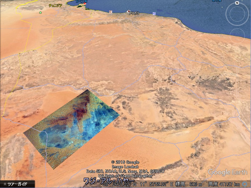
ところで、このサハラ砂漠の画像は青い海のようにも見えて不思議な印象です。
これが砂漠…?
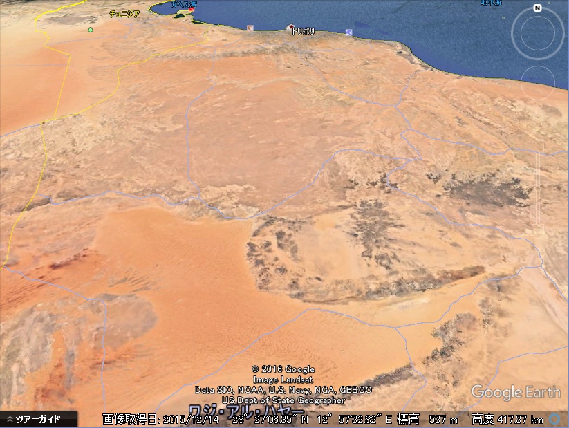
グーグルアースで、撮影データと照合して画像を重ねてみると何もない砂漠なので何らかの設定のもとに画像処理(地表の地質別に色付けやコントラスト付け)をしたものであると思います。
画像データ
Nadir 27.60° N, 11.72° E
Center 27.60° N, 11.72° E
Location Libya, Africa
グーグルアースに画像を重ねたものと、何もないもの